[Originally published as Puzzling Planation Pediments and River Piracy]
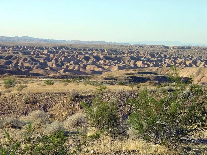
Secular geologists are unable to explain planation surfaces according to their uniformitarian beliefs. These are found at the tops of mountains and such, and pediments are at ground level. They are caused by erosion, are very flat, and gradually slope down from a mountain toward a valley.

Pediments are similar to alluvial fans, and caused some confusion for geologists long ago. Planation surfaces, pediments, and other landforms are not being formed today. Some pediments are in areas that are low in erosion, so they have kept their shapes. If we plug the observed data into creation science Genesis Flood models, ye ha boy howdy, we see that they were formed by massive water runoff.
The uniformitarian ‘slow and gradual’ belief has great difficulty accounting for many of the features on the earth’s surface, called landforms. These can, however, be explained by Flood runoff.
Landforms can be divided into two main types, those shaped during the runoff of the sheet flow phase of the Flood, and those shaped during its channelized phase. I have pointed out a number of sheet erosion features in this magazine; this article refers to a channelized-phase landform, thepediment.
To finish reading, go to “Pediments — Rapidly carved by channelized Flood runoff“.
River Piracy on the Tibetan Plateau

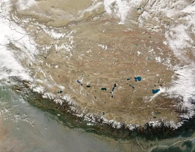
If you mention Tibet, there are several things that can come to mind. These include Mt. Everest, the Chinese communist invasion of Tibet in 1949-51, the “top of the world”, Mahayana Buddhism, and other things. Oh, yes. We must remember the geology of the Tibetan Plateau — and river piracy.
No, this river piracy is not about owlhoots on the waterways getting the drop on folks out for some recreation. We are going to discuss planation surfaces a bit more. You might recollect that these are flat surfaces (most dramatically at higher elevations) that uniformitarian geologists cannot adequately explain. River piracy is not performed by humans, but by rivers themselves (also called river capture). Like planation itself, river capture is almost never observed today. Piracy is a word that describes what secularists do with real science, but we’ll set that aside for today.
A new model of river capture was proposed, but it has numerous flaws. One simple thing that occurs to me is how evolutionists and secular geologists attempt to find one or two instances of something happening, then extrapolate it as evidence that this thing happened throughout history — but without evidence. This river capture model is too simple, and what is observed on the Tibetan Plateau clearly illustrates numerous problems with it. However, creation science Genesis Flood models effectively explain what is observed.
The idea of river piracy is that the tributary of a river erodes through a headwater barrier and captures the water from another river or stream. As a result, the water increases in the pirating stream and decreases at the downstream end of the captured river. By this process, river piracy or capture is considered one of the main uniformitarian explanations for how a water gap (a deep pass through a mountain, mountain range, plateau, or any other transverse barrier) can be formed.
However, despite the presence of thousands of water gaps across the earth’s surface there is no concrete evidence that this is an adequate explanation. More surprising, though, is the recent argument that water gaps, apparently derived from river piracy, are also responsible for explaining regional scale planation surfaces. The concept that low-relief landscapes can be formed by river piracy and river network disruptions such as water gaps, put forward in a recent paper, is strongly challenged here.
To read the rest, weigh anchor and sail the net for “Planation surfaces formed by river piracy?“


